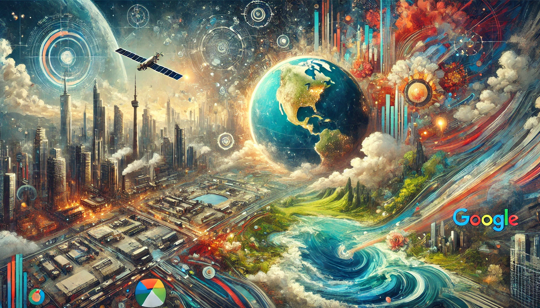
Google has been at the forefront of technological innovation for years, but its recent updates to Google Maps and Earth are nothing short of revolutionary. These enhancements not only improve user experience but also bring advanced artificial intelligence (AI) into play, making geographical exploration more engaging and insightful than ever before. So, get your game-face on as we jump into the new features, their implications, and how they can change the way we interact with our planet.
The Marvel of Time Travel: A Historical Journey
Imagine being able to travel back in time without the pesky side effects of a time machine malfunction—like running into your past self or accidentally preventing your birth. Google’s latest update introduces the Time Machine feature, allowing users to step back through historical imagery that spans nearly 80 years in select cities such as Berlin, London, Paris, and Warsaw.
Why Time Travel Matters
The ability to view historical satellite and aerial images isn’t merely a curiosity; it has profound implications for urban planners, researchers, and environmentalists. For instance, you can track the evolution of San Francisco’s waterfront from a gritty shipping hub to the bustling tourist destination it is today. This kind of insight is invaluable for understanding urban development, environmental changes, and societal growth.
Practical Applications
- Urban Planning: Urban planners can analyze how neighborhoods have evolved, aiding in future development strategies.
- Environmental Research: Environmentalists can assess the impact of climate change, witness the long-term effects of natural disasters, and evaluate how human activity alters landscapes.
- Historical Preservation: Historians can document changes in architecture and urban layout over decades, contributing to cultural heritage studies.
The Beauty of Accessibility
While it’s fantastic that the Time Machine feature allows for historical exploration in major cities, it’s equally impressive that Google Earth offers access to this historical imagery from thousands of locations globally. Whether you’re curious about how the Amazon rainforest has changed due to deforestation or want to see the alterations in coastal areas due to rising sea levels, Google Earth provides a rich tapestry of information.
The Time-Lapse Feature: An Environmental Wake-Up Call
In addition to the Time Machine, Google has rolled out the Time-Lapse feature, which visually showcases how landscapes have changed over the years. By compiling millions of satellite images, users can see geographic shifts in real-time.
The Power of Visual Storytelling
With Time-Lapse, you can witness the stark contrasts between deforestation in the Amazon and the recovery efforts in reforestation projects. Imagine observing the glaciers melting at an alarming rate or the gradual urban sprawl eating away at natural habitats. This is not just data; it's a narrative that speaks to the urgent need for action in the face of climate change.
Examples of Change
- Urban Expansion: Track how cities like Los Angeles have expanded over decades, making the concrete jungle grow ever larger.
- Environmental Impact: See firsthand the effects of climate change on our polar ice caps and the dramatic alterations in wildlife habitats.
- Natural Disasters: Analyze how natural disasters, such as hurricanes and wildfires, have reshaped the landscapes over the years.

Cloud Score Plus: AI-Powered Imagery
Google hasn’t just stopped at historical perspectives. With its Cloud Score Plus AI technology, the company has elevated the quality of real-time satellite imagery. This technology removes common visual obstacles like clouds, haze, and mist, providing a clearer and more vibrant view of the earth.
Enhanced Research and Exploration
By utilizing millions of images, Google’s AI can present users with accurate visual data, which is crucial for researchers. Imagine trying to analyze environmental data, only to be frustrated by cloudy weather obscuring your view. Cloud Score Plus takes away that hassle, ensuring you get reliable information every time.
Precision Over Aesthetics
While beautiful imagery is certainly a draw, the precision and reliability of the data are what truly matter for scientific and research purposes. Researchers can focus on critical factors without worrying about weather-related interruptions skewing their data.
Expanding Horizons: The Street View Update
Another significant upgrade comes in the form of a massive expansion to Google Maps’ Street View service. Nearly 80 new countries have been added, making this one of the largest updates in years.
Virtual Travel, Real Experiences
Now, users can explore a diverse range of landscapes, from Bosnia's medieval villages to Namibia's stunning sandy mountains and even the castles in the Alps. It’s a virtual globetrotting experience that allows users to visit places they might never have the chance to explore in person.
Features of the New Camera
With Google’s new 15-lb camera capable of capturing high-quality imagery from nearly any vehicle, the accessibility of street view imagery is at an all-time high. This means that even the most remote destinations are within reach, all from the comfort of your own home.
Generative AI: Smart Recommendations
The integration of generative AI into Google Maps has transformed the user experience. This feature, already available in the U.S., offers smart AI-generated recommendations based on a range of factors, including budget, location, and even current weather conditions.
Tailored Experiences
Imagine you're wandering through a new city and suddenly you feel peckish. Instead of relying on generic Yelp recommendations, Google Maps can suggest nearby eateries based on your personal preferences. If it’s a rainy day, it can point you towards cozy cafes or indoor attractions.
The AI Advantage
- Personalization: Tailored suggestions eliminate the guesswork in finding the best spots.
- Efficiency: It saves you time by honing in on precisely what you’re looking for.
- Exploration: It encourages exploration of local culture through personalized recommendations.
UI Design: A Refreshing User Experience
Alongside these monumental updates, Google has also revamped its user interface. The new card-style layout enhances usability, making navigation more intuitive.
Small Tweaks, Big Changes
Though these changes might seem minor, they significantly improve the overall experience. Everything feels streamlined, making it easier for users to locate what they need without unnecessary hassle.
The Future is Bright
Google's recent updates to Maps and Earth are more than just technological advancements; they represent a shift towards a more interactive and insightful relationship with our planet. With features that empower researchers, urban planners, and everyday users alike, Google is not just mapping the world; it's making it accessible and understandable.
Are you ready to explore the world like never before? Dive into Google Maps and Earth’s new features, and let your curiosity lead the way! And while you’re at it, let us know your thoughts in the comments below. How do you plan to use these innovative tools? Are you excited about the potential for research or simply for virtual travel? Join the iNthacity community and become a part of the “Shining City on the Web”—your virtual hub for all things tech and innovation!


Post Comment
You must be logged in to post a comment.